
Mapping Amitsoq’s historic workings for mine planning
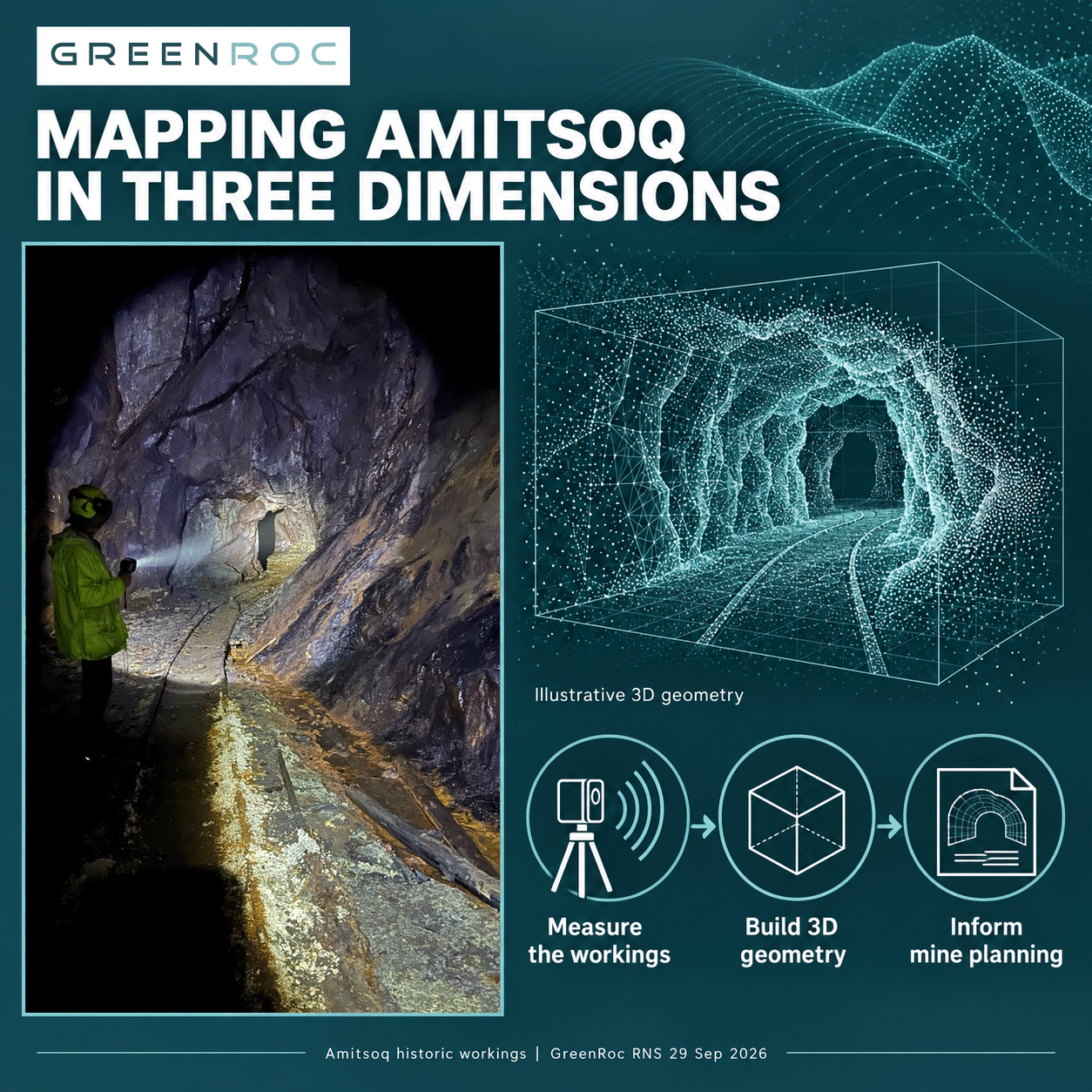
Historic mine workings leave a physical record of earlier excavation. Measuring their shape and position helps engineers bring that record into modern mine planning.
Laser scanning captures distances to exposed surfaces. The measurements form a “point cloud”: individual points positioned in three-dimensional space. Together, they describe the geometry of the surveyed area, allowing engineers to examine and measure features from different viewpoints.
For an underground passage, that geometry includes the roof, floor and sidewalls. Cross-sections can reveal changes in the passage profile along its length. This is useful when assessing how existing openings relate to the dimensions and layout required for modern mining equipment.
The position of excavated spaces also matters. Setting the workings alongside an orebody model supports depletion assessment: understanding the material removed by historic mining. It also helps engineers consider how existing openings relate to potential underground drilling locations and future mine layouts.
Survey coverage remains part of that interpretation. A partial scan records the accessible area surveyed; further investigation is needed to establish the geometry of unmeasured spaces. Keeping those boundaries clear helps engineers distinguish measured information from areas that remain uncertain.
At Amitsoq, the underground survey is contributing to a developing 3D model for mine planning and the planned Pre-Feasibility Study. It brings measured information about the historic excavations into the project’s design work.
#GreenRoc #Amitsoq #Graphite #MinePlanning #LiDAR #Greenland